The Future of AI Image
Intelligence
Turn pixels into powerful location and operational intelligence. Advanced AI analysis for security professionals.
Login to Analyze
Phantom or Solflare required
Soon will be Trusted by Leading Intelligence Agencies Worldwide
DOD
Department of Defense
FBI
Federal Bureau of Investigation
CIA
Central Intelligence Agency
NSA
National Security Agency
INTERPOL
Interpol
EU
European Union
UN
United Nations
NATO
NATO
DOD
Department of Defense
FBI
Federal Bureau of Investigation
CIA
Central Intelligence Agency
NSA
National Security Agency
INTERPOL
Interpol
EU
European Union
UN
United Nations
NATO
NATO
See Ztrace in Action
Real-world examples of our AI-powered geolocation analysis across diverse environments

Analysis Results
Coordinates
35.6762° N, 139.6503° E
Detected Features
Analysis Summary
High-density urban analysis identifying Tokyo's Shibuya district from architectural patterns and signage.
Core Technologies
Powered by cutting-edge AI and built for professional intelligence workflows
AI-Powered Analysis
Advanced neural networks trained on millions of images for accurate geolocation and feature extraction.
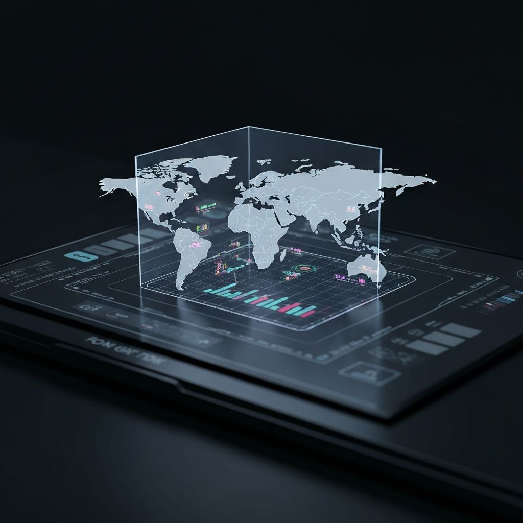
Global Coverage
Comprehensive worldwide database with satellite imagery and street-level data.
Enterprise Security
SOC 2 compliant with air-gapped deployment options and strict data handling protocols.
Real-time Processing
Fast GPU-accelerated inference for time-critical operations.
Scalable Infrastructure
Auto-scaling architecture handling millions of queries with 99.99% uptime SLA.
OSINT Integration
Native integrations with popular OSINT tools and customizable API endpoints.
Advanced Capabilities
Beyond basic geolocation, Ztrace offers a comprehensive suite of advanced features for sophisticated intelligence operations.
Privacy Shield
Built-in tools to help protect civilian privacy while maintaining investigative capabilities.
Multi-Source Fusion
Combine satellite, aerial, and street-level imagery for comprehensive analysis.
Satellite Direct
Direct integration with commercial satellite providers for real-time imagery access.
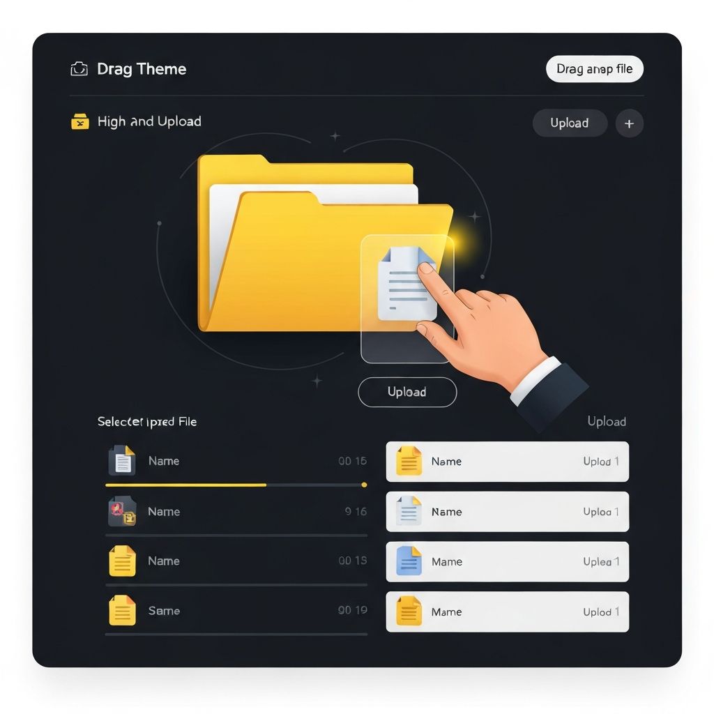
How Ztrace Works
From image upload to actionable intelligence in seconds
Applied Intelligence Workflows
Purpose-built solutions for security professionals and intelligence teams across industries

Location identification
Visual analysis
Global coverage
OSINT Reconnaissance
Extract valuable intelligence from images for open-source investigations and research. Identify locations, track movements, and verify claims.
Ready to Transform Your
Intelligence Workflow?
Join security teams worldwide who trust Ztrace for accurate, fast, and reliable image intelligence. Start with our free trial today.